The Beadell Roads Atlas & Guide
The Westprint Maps The Beadell Roads Atlas and Guide is a comprehensive guide to the isolated region covering parts of South Australia, Western Australia, and the Northern Territory, including the Great Victoria, Great Sandy, Little Sandy, and Gibson Deserts. The atlas and guide provide detailed information on road surfaces, fuel and limited supplies available at remote roadhouses in the region. The guide also includes historical information about the early European explorers who travelled this arid region of Australia before Len Beadell started building roads through it.
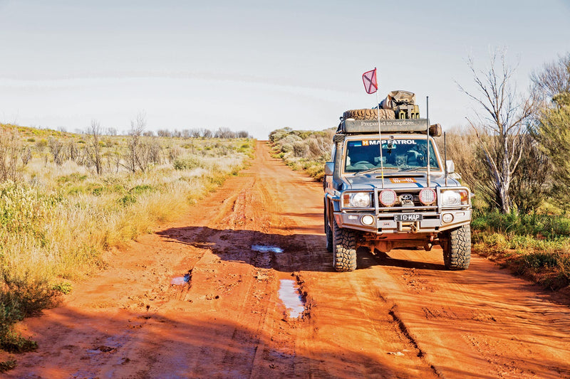
The roads shown on the atlas and guide vary from excellent bitumen to dangerous corrugations, washaways, stone and loose sand. To ensure safety, it is recommended that at least two vehicles travel together, each being self-sufficient with water, fuel and food. This applies to all roads and tracks with the possible exception of the Great Central Road.
With clear and easy-to-read maps, the atlas and guide also include notes on history, explorers, points of interest, surrounding flora and fauna, as well as various photos of landmarks. Road distances, rest areas, caravan parks, and fuel outlets are noted, along with Lat/Long grid and GPS coordinates. The Westprint Maps The Beadell Roads Atlas and Guide is an essential resource for any adventurer exploring the remote and rugged outback of Australia.
Key Features
- 26 Double pages of maps
- heritage and touring information
- over 60 numbered points of interest
- covers all the major tourist routes through this area.
Key Specifications
Edition: 2nd
Publication Date: 1/06/21
Number of Pages: 94
Height: 250mm
Width: 185mm
Depth: 7mm
Weight: 0.3kg
You may also like...


Western Australia State Map
- Regular Price
- $14.95
- Sale Price
- $14.95
- Regular Price
-
- Unit Price
- Translation missing: en.general.accessibility.unit_price_separator


The Kimberley Map
- Regular Price
- $14.95
- Sale Price
- $14.95
- Regular Price
-
- Unit Price
- Translation missing: en.general.accessibility.unit_price_separator


Savannah Way - Cairns to Broome Map
- Regular Price
- $14.95
- Sale Price
- $14.95
- Regular Price
-
- Unit Price
- Translation missing: en.general.accessibility.unit_price_separator


Pilbara & Coral Coast Map
- Regular Price
- $14.95
- Sale Price
- $14.95
- Regular Price
-
- Unit Price
- Translation missing: en.general.accessibility.unit_price_separator


South West Western Australia Map
- Regular Price
- $14.95
- Sale Price
- $14.95
- Regular Price
-
$0.00 - Unit Price
- Translation missing: en.general.accessibility.unit_price_separator
Related Articles


Exploring Old Telegraph Track North, Cape York Qld

Top 5 Australian Great Desert tracks