Outback Victoria Map
The Westprint Outback Victoria map is the essential tool for any adventurer exploring the vast, rugged landscapes of Victoria's outback. Covering an area of over 500,000 square kilometers, this map showcases the beauty and diversity of the region, including national parks, reserves, and historical sites. Coverage extends from the Northern Grampians to Mallee Highway (Ouyen), including the Big Desert, Hindmarsh, Albacutya, Little Desert, Wyperfeld, and other important areas of interest.
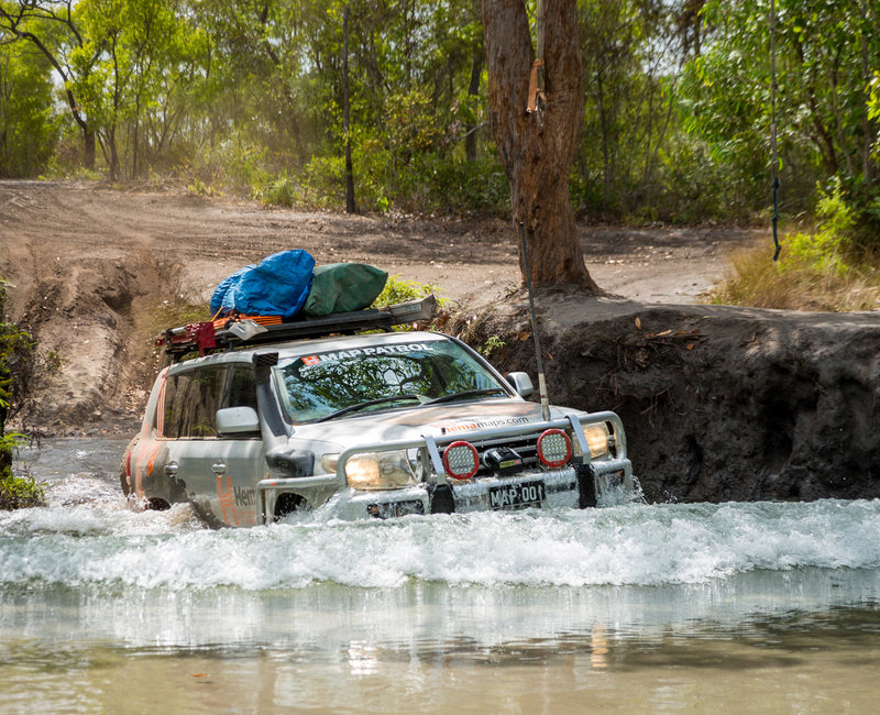
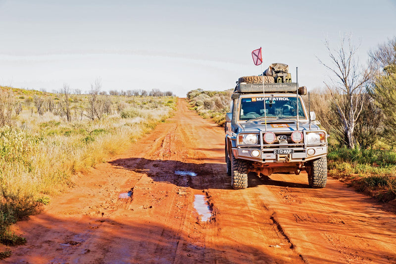
Featuring comprehensive road and track information, this map is ideal for those travelling off the beaten path, providing detailed coverage of all major 4WD tracks and remote dirt roads. The map also includes detailed town maps for key outback settlements, as well as information on camping areas, fuel stops, and points of interest.
With over 30 years of experience in creating maps for the outback, Westprint has a reputation for providing accurate, up-to-date information and reliable navigation tools. Whether you're planning a day trip or a long-term expedition, the Westprint Outback Victoria map is an essential item for any outback traveller.
Key Features
- 4WD tracks and key roads
- National parks
- Specific 4WD, caravan and camping information
- GPS surveyed roads & tracks
- Heritage & tourist information
Key Specifications
Edition: 2nd
Publication Date: 01/01/12
Folded size (WxHxD): 140mm x 250mm x 2mm
Flat size (WxH): 700mm x 1000mm
Weight: 0.09kgs
You may also like...

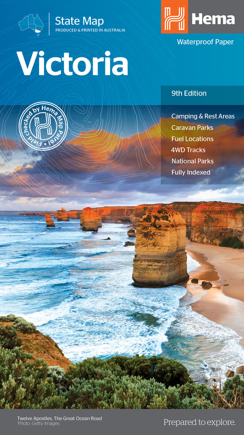

Victoria State Map
- Regular Price
- $14.95
- Sale Price
- $14.95
- Regular Price
-
- Unit Price
- Translation missing: en.general.accessibility.unit_price_separator

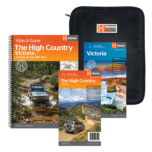
The Victorian High Country Adventure Pack
- Regular Price
- $74.95
- Sale Price
- $74.95
- Regular Price
-
$114.80 - Unit Price
- Translation missing: en.general.accessibility.unit_price_separator


The Victorian High Country Map
- Regular Price
- $14.95
- Sale Price
- $14.95
- Regular Price
-
- Unit Price
- Translation missing: en.general.accessibility.unit_price_separator

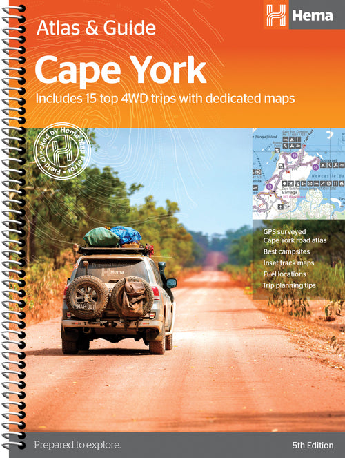

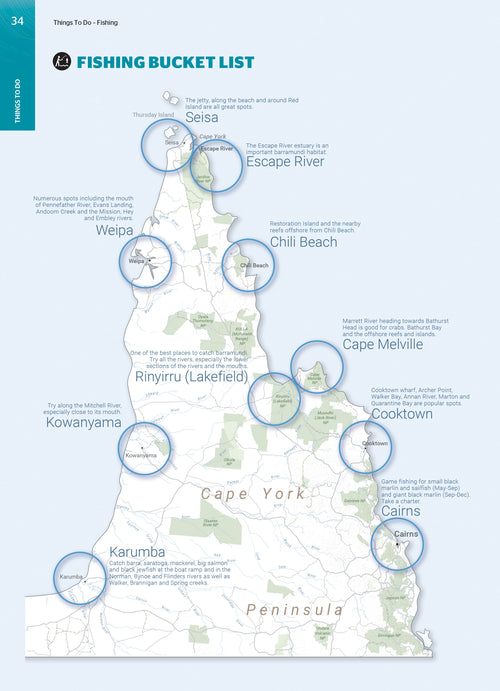
Cape York Atlas & Guide
- Regular Price
- $49.95
- Sale Price
- $49.95
- Regular Price
-
- Unit Price
- Translation missing: en.general.accessibility.unit_price_separator


Victoria's Deserts 4WD Map
- Regular Price
- $14.95
- Sale Price
- $14.95
- Regular Price
-
- Unit Price
- Translation missing: en.general.accessibility.unit_price_separator
Related Articles

Exploring Old Telegraph Track North, Cape York Qld

Top 5 Australian Great Desert tracks