


Central Coast Queensland Map
This two-sided regional map showcases the Central Coast of Queensland (1:550,000), extending from just south of Bundaberg up to Ingham in the north and reaching as far west as Clermont. The front side of the map spans from Mackay in the south to Ingham in the north, encompassing Bowen, Ayr, Townsville, and Ingham along the coastline, extending well past Charters Towers to the west. On the reverse side, the map covers the area from Bundaberg in the south to Camila in the north, featuring locations such as Gladstone, Yeppoon, Marlborough along the coast, and Emerald in the west.
Key Features
- Camping Areas
- Caravan Parks
- Fuel
- Locality Index
- National Parks
- Points of interest
Key Specifications
Edition: 1st
Publication Date: 01/15/24
Scale: 1:550,000
Folded size (WxHxD): 140mm x 250mm x 3mm
Flat size (WxH): 700mm x 1000mm
Weight: 0.09kgs
You may also like...

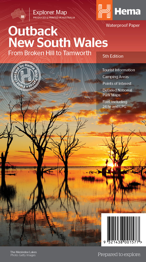

Outback New South Wales Map
- Regular Price
- $14.95
- Sale Price
- $14.95
- Regular Price
-
- Unit Price
- Translation missing: en.general.accessibility.unit_price_separator


The Kimberley Map
- Regular Price
- $14.95
- Sale Price
- $14.95
- Regular Price
-
- Unit Price
- Translation missing: en.general.accessibility.unit_price_separator


Flinders Ranges Map
- Regular Price
- $14.95
- Sale Price
- $14.95
- Regular Price
-
- Unit Price
- Translation missing: en.general.accessibility.unit_price_separator


Savannah Way - Cairns to Broome Map
- Regular Price
- $14.95
- Sale Price
- $14.95
- Regular Price
-
- Unit Price
- Translation missing: en.general.accessibility.unit_price_separator


The Victorian High Country Map
- Regular Price
- $14.95
- Sale Price
- $14.95
- Regular Price
-
- Unit Price
- Translation missing: en.general.accessibility.unit_price_separator
Related Articles


When is the best time to travel to Cape York, Qld
The Peninsula’s climate is characterised by two distinct seasons - wet and dry -...


Exploring Old Telegraph Track North, Cape York, Qld
The northern section of the Old Telegraph Track, which runs from Bamaga Road to...

Top 5 Australian Great Desert tracks
Hema Maps celebrates the release of its 6th Edition of its bestselling Great Desert...