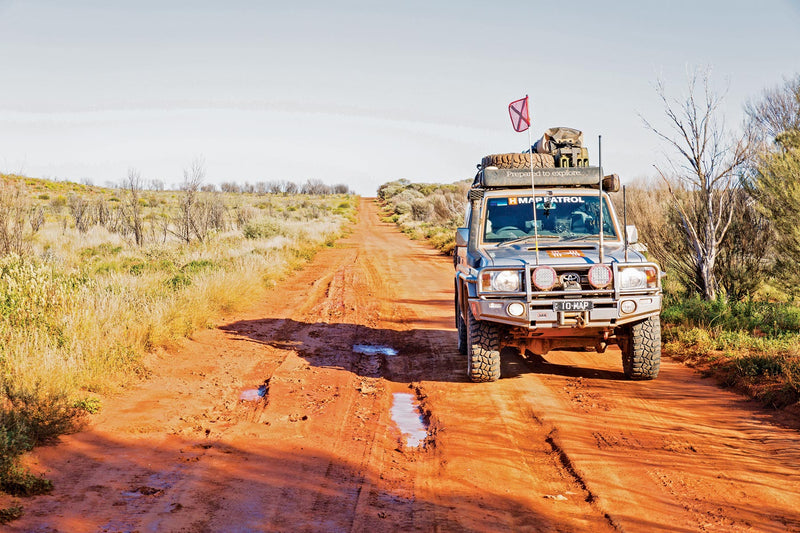
The Gunbarrel Highway Map
The section of the Gunbarrrel Highway explored and surveyed by Len Beadell in 1958, is shown on this map complete with GPS readings. It links with the Canning Stock Route and Tanami Track, a circular route popular with many 4WD travellers.
The Gunbarrel Highway is featured because of its popularity but the Great Central Road and several interconnecting tracks within the Gibson Desert are also featured on this map.
Westprint Maps are highly regarded maps for desert areas. All Westprint maps contain notes on history, explorers, points of interest, surrounding flora and fauna and contain various photos of landmarks. The maps are very clear to read and have road distances, rest areas, caravan parks and fuel outlets noted.
This map covers: Great Central Road, Connie Sue Highway, David Carnegie Road, Leonora, Laverton, Glen Ayle Road, Rason Lakes Road, Western part of Anne Beadell Highway, Heather Highway etc.
Key Features
- Detailed 4WD tracks
- National parks
- Specific 4WD, caravan and camping information
- GPS surveyed roads & tracks
- Heritage & tourist information
Key Specifications
Edition: 5th
Publication Date: 01/01/14
Folded size (WxHxD): 140mm x 250mm x 2mm
Flat size (WxH): 700mm x 1000mm
Weight: 0.09kgs
You may also like...


Birdsville & Strzelecki Tracks Map
- Regular Price
- $14.95
- Sale Price
- $14.95
- Regular Price
-
- Unit Price
- Translation missing: en.general.accessibility.unit_price_separator


Oodnadatta Track Map
- Regular Price
- $14.95
- Sale Price
- $14.95
- Regular Price
-
- Unit Price
- Translation missing: en.general.accessibility.unit_price_separator


Victoria's Deserts 4WD Map
- Regular Price
- $14.95
- Sale Price
- $14.95
- Regular Price
-
- Unit Price
- Translation missing: en.general.accessibility.unit_price_separator


Snowy Mountains Central, Cooma, Khancoban Map
- Regular Price
- $14.95
- Sale Price
- $14.95
- Regular Price
-
- Unit Price
- Translation missing: en.general.accessibility.unit_price_separator


Canning Stock Route Map
- Regular Price
- $19.95
- Sale Price
- $19.95
- Regular Price
-
- Unit Price
- Translation missing: en.general.accessibility.unit_price_separator
Related Articles


Exploring Old Telegraph Track North, Cape York, Qld

Top 5 Australian Great Desert tracks