


Mornington Peninsula Walks Map Guide
Double-sided multi-scaled map of Mornington Peninsula National Park, Point Nepean and Arthurs Seat State Park. Covers the entire Two-Bays Walking Track from Dromana to Cape Schanck and The Coastal Walk from Cape Schanck to Portsea.
Shows all tourist sites, wineries, picnic grounds and walking tracks, in and around the parks. 25 Walking Track notes in the parks and reserves, plus information on the coastal formations, history and development of parks compliments the map. Ideal for bushwalkers, day-trippers and holidaymakers.
Key Features
- 1:20,000 & 1:25,000 Scale Maps
- Field and track notes for 25 walking tracks
- Key tracks including; Two-Bays Walking Track and The Coastal Walk
- Mornington Peninsula National Park
- Point Nepean National Park
- Arthurs Seat State Park
- Historical and tourist information
Key Specifications
Edition: 2nd
Publication Date: 01/06/21
Scale: 1:25,000
Folded size (WxHxD): 100mm x 250mm x 3mm
Flat size (WxH): 594mm x 750mm
Weight: 0.06kgs
You may also like...


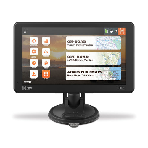
Hema HX-2+ Navigator
- Regular Price
- $849.95
- Sale Price
- $849.95
- Regular Price
-
$0.00 - Unit Price
- Translation missing: en.general.accessibility.unit_price_separator

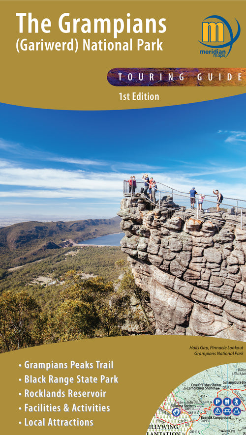
The Grampians (Gariwerd) Map
- Regular Price
- $14.95
- Sale Price
- $14.95
- Regular Price
-
$0.00 - Unit Price
- Translation missing: en.general.accessibility.unit_price_separator

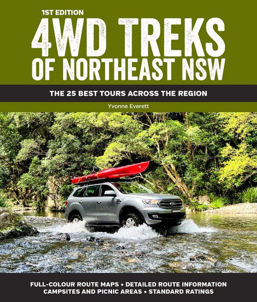
4WD Treks of Northeast NSW
- Regular Price
- $44.99
- Sale Price
- $44.99
- Regular Price
-
- Unit Price
- Translation missing: en.general.accessibility.unit_price_separator

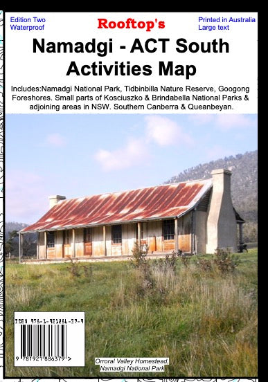

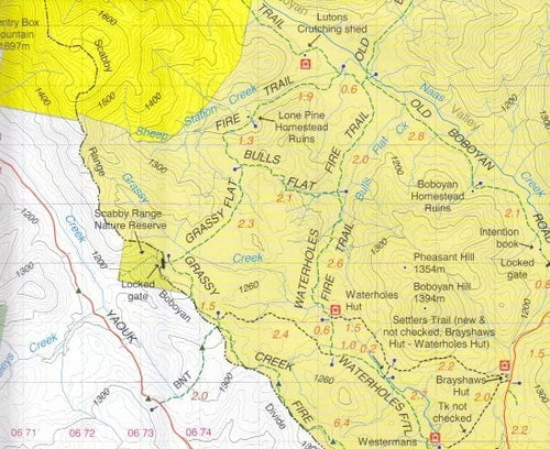
Namadgi - ACT South Activities Map
- Regular Price
- $15.95
- Sale Price
- $15.95
- Regular Price
-
- Unit Price
- Translation missing: en.general.accessibility.unit_price_separator

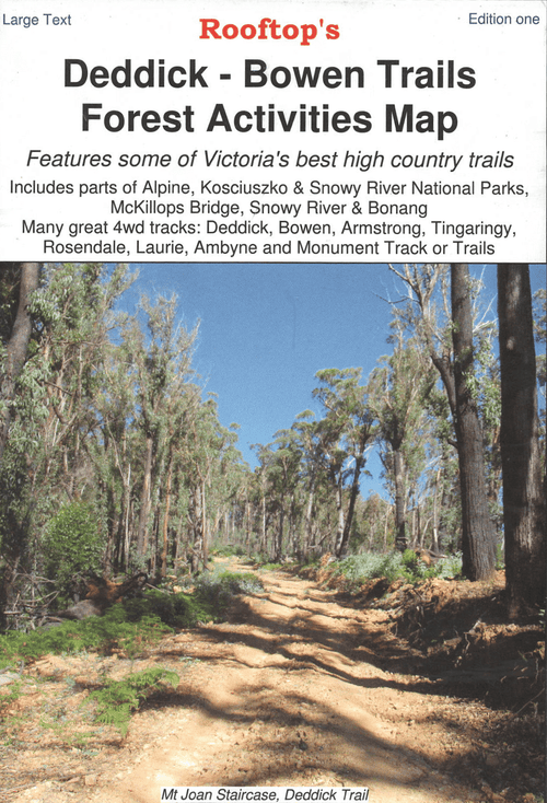
Deddick - Bowen Trails Forest Activities Map
- Regular Price
- $8.95
- Sale Price
- $8.95
- Regular Price
-
- Unit Price
- Translation missing: en.general.accessibility.unit_price_separator
Related Articles


Exploring Old Telegraph Track North, Cape York Qld
The northern section of the Old Telegraph Track, which runs from Bamaga Road to...

Top 5 Australian Great Desert tracks
Hema Maps celebrates the release of its 6th Edition of its bestselling Great Desert...


Gary Junction Road - The Outback's Heart
Words Chris Whitelaw The Gary Junction Road has been described as one of the best...