
:
Top Trip Essentials for Cape York
Cape York is a must-see destination on many an adventurous travellers' bucket list.
In a region covering 200,000sq km (almost the size of Victoria), Cape York is a peninsula bordered by the Coral Sea to the east, Torres Strait to the north and the Gulf of Carpentaria on the western side. It has a population of less than 30,000 people with more than half of Aboriginal or Torres Strait Islander descent.

The Northern Peninsula Area (NPA) is the area north of the Jardine River and comprises five First Nations communities settled by clans from across Cape York and the Torres Strait. There are three Aboriginal communities: Injinoo, Umagico and New Mapoon; and two Islander communities: Seisia and Bamaga. It’s the only place in Australia where these two First Nations cultures merge on country.
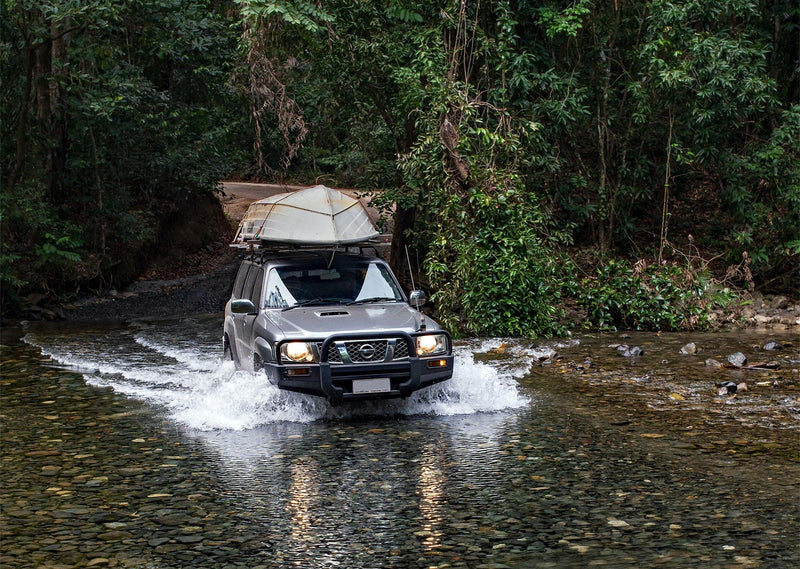
An estimated 80,000 people visit Far North Queensland each year during the dry season. About 60,000 choose to stay on the bitumen and travel as far as Cooktown, while 20,000 will tackle the notorious red dirt corrugated roads all the way to the tip at Cape York, with the more adventurous four-wheel drivers testing their skills on the Old Telegraph Track (OTT).
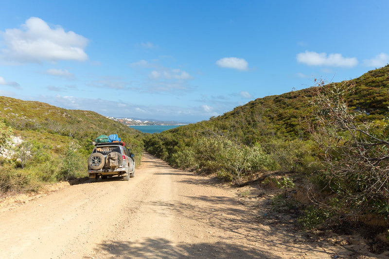
While the main route to the Tip (Pajinka) has been upgraded with increasing sections of sealed roads, the vast majority is still unsealed and there is plenty to explore along the way.
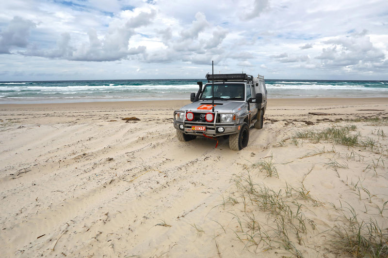
It’s a challenging trip to the most stunningly beautiful, rugged and remote northernmost point of the Australian continent. The ultimate reward is the picture you get of yourself standing under that sign at the very tip that we’ve all seen on hundreds of Insta posts and YouTube videos. But there will be many more memorable moments along the way that will stay with you forever.
When to go
The best time to travel to the Cape is the dry season or ‘shoulder’ months from May to September. July is peak tourist season and school holidays can get busy. In May there is still plenty of water about and creek crossings will be deep, so you’ll need to have a high clearance four-wheel drive vehicle.
Some National Parks don’t reopen after the wet season until the end of June so check ahead on their website.

Preparation and planning
As with any big trip, preparation and planning is key. In the coming weeks, we will cover all the top essentials for a Cape York adventure including vehicle preparation, GPS and satellite navigation tools, recovery gear, daily maintenance, emergency food and more.
Permits required
Due to the social problems that result from the excessive consumption of alcohol, there are limits and bans on alcohol in place in many Cape York communities including Aurukun, Doomadgee, Hope Vale, Kowanyama, Lockhart River, Mapoon, Napranum, Pormpuraaw, Wujal Wujal and Yarrabah. There are different restrictions for each community, and in some alcohol is completely banned. There is a handy guide to areas with alcohol restrictions on the Queensland Government website.
Some roads are within restricted areas and to gain access you must be able to provide you are a bona fide traveller, i.e., someone passing through a community on their way to another destination.
A permit to enter the Northern Peninsula Area (NPA) is included in the cost of the return ferry trip over the Jardine River.
Entry to all Queensland National Parks is free, however, to camp you will need a permit and a fee applies. You must do this online before arriving at the camping area and some popular camping spots need to be booked well in advance, particularly during busy periods.
Croc country
The pristine beaches and crystal-clear rivers of Cape York are off-limits for swimming because of crocodiles — there are warning signs everywhere. There are a couple of exceptions, which is why Fruit Bat Falls and Elliot Falls are very popular with hot, dusty travellers having a dip.
As a general rule, don’t swim in the waters, don’t fish at the same spot every day and keep both eyes out. The other reason to stay out of those incredibly inviting waters is marine stingers, some of which are deadly. The only other potential killers are snakes, including the coastal taipan, the eastern, western and king browns and the northern death adder.

Blood-sucking insects such as mosquitoes, march flies and sand flies can be particularly troublesome in some places, such as in or near mangrove forests. The best way to deal with these blighters is to pack the repellent and wear sensible clothing (i.e., light-coloured, loose-fitting and with maximum skin coverage). Tropical mites live in rainforest areas and can drop on you as you’re walking through.
Travel information
Visitor Centres:
The main source of travel information for Cape York Peninsula is the Cairns and Tropical North Visitor Information Centre.
The following information centres mainly look after their own particular area:
- Mareeba Heritage Museum and Visitor Information
- Normanton Visitor Information Centre
- Port Douglas Tourist Information Centre
- Quinkan Regional Cultural Centre
- Terrestrial Georgetown Centre
- Weipa Town Authority
Government Offices:
All national parks on Cape York Peninsula are managed by the Queensland Parks and Wildlife Service with the Northern Regional Office in Cairns.
Indigenous Councils:
- Aurukun Shire Council
- Hope Vale Aboriginal Shire Council
- Kowanyama Aboriginal Shire Council
- Lockhart River Aboriginal Shire Council
- Mapoon Aboriginal Shire Council
- Napranum Aboriginal Shire Council
- Northern Peninsula Area Regional Council (incorporates Bamaga, Injinoo, New Mapoon, Seisia and Umagico councils)
- Pormpuraaw Aboriginal Shire Council
- Torres Shire Council
- Wujal Wujal Aboriginal Shire Council
Maps and guides
Hema’s bestselling Cape York Atlas & Guide (5th edition) is the go-to guide for the adventurous traveller planning a trip to the Cape. Hema has also released its new Cape York map.
In addition to its road and track coverage, this latest edition provides a wealth of supplementary information such as camping areas, national parks, accommodation options and distances. This edition also introduces new inset maps for the CREB Track and Rinyirru (Lakefield) National Park which provide detailed coverage of these specific areas, offering enhanced accuracy and guidance when exploring these unique regions. Additionally, the map continues to cover the full Old Telegraph Track and Frenchmans Track, ensuring you have comprehensive information for these iconic and challenging tracks.

And Hema's HX-2 on-road and off-road GPS Navigator allows you to plan, experience and share your adventures no matter how far you travel off the beaten track. The HX-2 features more than 100,000 Hema-moderated listings including over 40,000 Hema-verified points of interest (POIs) such as bush camping sites, campgrounds, caravan parks, hotels, motels, dump points, wineries, lookouts, rest areas, boat ramps, post offices, fuel stops and plenty more.
Next steps
At Hema Maps, we strive to provide the most comprehensive and accurate maps and guides for outdoor enthusiasts looking to explore Australia's natural wonders.
Did you find this information useful? If so, please share it with your fellow explorers. Whether it's by sms, social media, or email, your friends and fellow adventurers will appreciate the valuable tips and insights we've shared.
Let's work together to make the most of every adventure.


0 comments