
:
The Flinders Ranges' Best 4WD Tracks
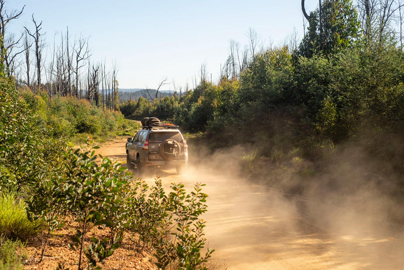
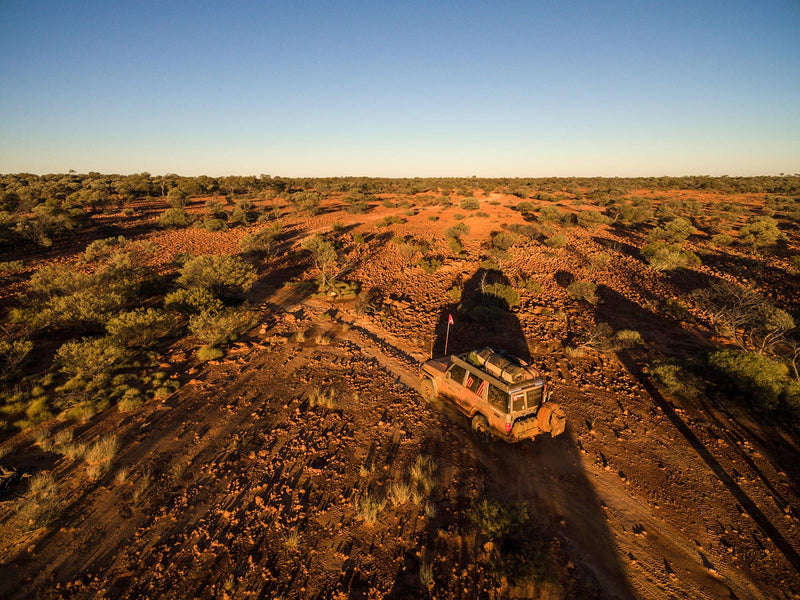
The Flinders Ranges is a scenic spectacle and a veritable four-wheel drive destination — its ancient landscapes are home to some standout 4WD tracks and excellent views.

1. Mount Jacob Backtrack
The Northern Flinders Ranges is replete with rippling ranges and rocky red tracks, particularly around Arkaroola Wilderness Sanctuary, outside of Vulkathunha-Gammon Ranges National Park. The Mount Jacob Backtrack combines stunning mountain vistas with steep climbs and technical driving, delivering travellers to multiple lookouts and other attractions along an adventurous drive.
Heading off from Arkaroola Road around 12km south of Arkaroola Village, the track intersects with Mount Jacob Mine, which sits at the foot of Mount Jacob. The drive heads north to Tillite Gorge and picturesque Barraranna Gorge, and a detour to Arkaroola Springs is also in the offing. Along the way, travellers are treated to different sections of the range, each one awe-inspiring in its own way.

Image credit: Arkaroola webpage
2. Brachina Gorge to Bunyeroo Valley
The trip through Brachina Gorge and the Bunyeroo Valley is perhaps the most scenic drive in the entire Flinders Ranges. Coursing through gaps in jagged quartzite mountains — most notably the Heysen Range — the trip unfolds with one stunning vista after another in a steady procession.
The area is geologically significant too, with its majestic ranges and Wilpena Pound showcasing over 500 million years of history through their risen layers of rock. With this in mind, the drive through the gorges and valleys of this area takes on an additional significance; age and beauty coming together in a way that only nature can deliver.

3. Mount Gill Track
Combining classic elements of the Flinders Ranges along a quiet four-wheel drive track, the Mount Gill Track is the jewel of Warraweena Conservation Park. A slow drive along a dry creek bed turns into an undulating ridgetop trail, with rocky hill climbs and various lookouts serving as ideal vantage points to appreciate the topography of the ranges that roll to the horizon. Warraweena presides over some of the highest peaks in the Flinders Ranges, meaning it’s even possible to catch sight of Lake Frome to the east from various lookouts.
The track can be accessed through Warraweena Conservation Park and has a fee attached, with camping available within the park as well.

4. Nuccaleena Ruins
Beginning west of Angorichina Village (near Parachilna and The Outback Highway) and then striking north through gaps in the North Flinders Ranges, the looped drive to and from Nuccaleena Ruins is an enthralling one. Those heading from Parachilna will first head through Parachilna Gorge, a place of stunning beauty that’s inspired countless landscape artists to take their canvas and palette into outback South Australia.
The final section of the track breaks off towards the Nuccaleena Ruins and Nuccaleena Mine, which was in operation for less than a decade after copper was found in the area in the 1850s. The ruins themselves are set amongst the hills and make for a charming scene, with bush camping available for those who want to spend the night.
The loop can be done as a day trip, with the drive heading from Public Access Route 3 to 4 as it comes back through the ranges heading southeast towards Blinman, giving a new twist to the mountain scenery that looms on either side.

5. Lake Frome
Adjoining the eastern extents of Vulkathunha-Gammon Ranges National Park is Lake Frome, a 100km-wide salt pan that bleeds into the Strzelecki Desert. The lake rarely holds water and is said to have been drained by the Rainbow Serpent after he came down Arkaroola Creek to drink. Upon filling his belly with the water from the lake — ‘Mudna’ to the local Adnyamathanha people — Akurra the Rainbow Serpent created deep gullies with his wide and heavy form as he left the area.
The journey to Lake Frome starts in the range country of Balcanoona then barrels east, the landscape changing from folded peaks to semi-arid plains and then red dune country, all within a 38km trip that transitions at heady speed. The track crosses the Dog Fence and a natural gas pipeline on the way, and no access is allowed after 3pm daily. On the trip back, visitors can head deeper into Vulkathunha-Gammon Ranges National Park, with excellent camping options at Balcanoona Gorge or the Italowie Gap bush camp.

Next steps
At Hema Maps, we strive to provide the most comprehensive and accurate maps and guides for outdoor enthusiasts looking to explore Australia's natural wonders.
Did you find this information useful? If so, please share it with your fellow explorers. Whether it's by SMS, social media, or email, your friends and fellow adventurers will appreciate the valuable tips and insights we've shared.
Let's work together to make the most of every adventure.
3 comments


awsome is the only way to decribe
I am an adventure motorcycle rider and would love a detailed map of the area, the book is a bit big for us to strap on.
Please inform me if such a map exists.
WOULD LIKE ALL THE INFORMATION ON THESE TRACKS