


North Queensland Map
This is the ideal North Queensland map for discovering the many destinations between Mackay and The Tip. The mapping is at a touring scale of 1:750,000, with terrain shading and touring symbols giving an accurate and informative overview of the region. There is a detailed inset map for Mackay and the Whitsundays and another for the entire coastal strip between Townsville and Cooktown. There is also tourist information on the popular coastal strip with a handy list of national park facilities and information centres as well.
Key Features
- Detailed coastal inset map
- Camping areas
- Points of Interest
- National Parks
- Tourist areas
Key Specifications
Edition: 11th
Publication Date: 01/12/13
Scale: 1:1,750,000
Folded size (WxHxD): 140mm x 250mm x 3mm
Flat size (WxH): 700mm x 1000mm
Weight: 0.09kgs
You may also like...

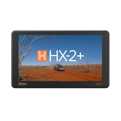

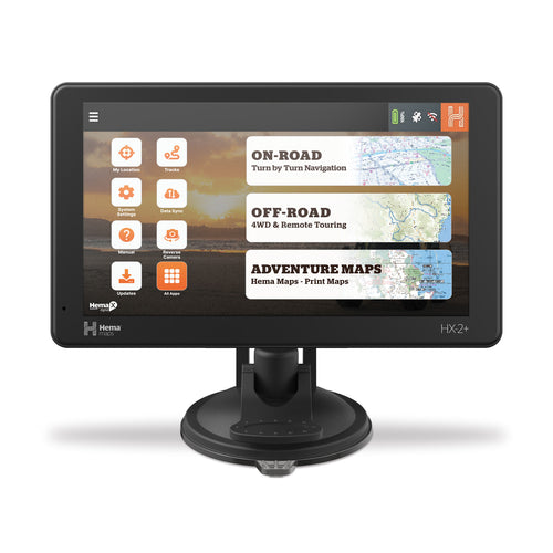
Hema HX-2+ Navigator
- Regular Price
- $849.95
- Sale Price
- $849.95
- Regular Price
-
$0.00 - Unit Price
- Translation missing: en.general.accessibility.unit_price_separator

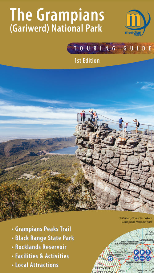
The Grampians (Gariwerd) Map
- Regular Price
- $14.95
- Sale Price
- $14.95
- Regular Price
-
$0.00 - Unit Price
- Translation missing: en.general.accessibility.unit_price_separator

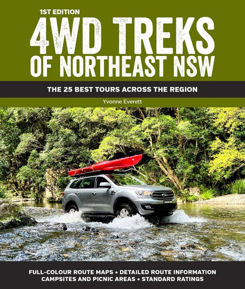
4WD Treks of Northeast NSW
- Regular Price
- $44.99
- Sale Price
- $44.99
- Regular Price
-
- Unit Price
- Translation missing: en.general.accessibility.unit_price_separator

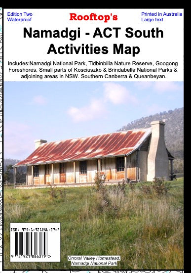

Namadgi - ACT South Activities Map
- Regular Price
- $15.95
- Sale Price
- $15.95
- Regular Price
-
- Unit Price
- Translation missing: en.general.accessibility.unit_price_separator

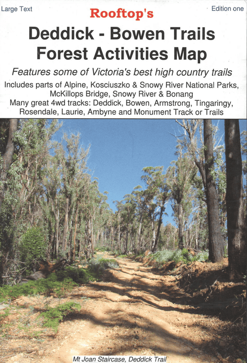
Deddick - Bowen Trails Forest Activities Map
- Regular Price
- $8.95
- Sale Price
- $8.95
- Regular Price
-
- Unit Price
- Translation missing: en.general.accessibility.unit_price_separator
Related Articles

Top 5 Australian Great Desert tracks
Hema Maps celebrates the release of its 6th Edition of its bestselling Great Desert...

Gary Junction Road - The Outback's Heart
Words Chris Whitelaw The Gary Junction Road has been described as one of the best...

Victorian High Country Expedition with Hema Maps
Over three months in 2024 our mapping teams moved through the High Country in...