Mallacoota - Merimbula Adventure Map
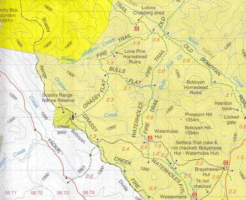
Mallacoota Merimbula Adventure Map is a 1:100,000 scale map. Covering Victoria’s far east and New South Wales far south-east includes Bomballa, Eden, Cann River, Pambula, Wonboyn Lake, Ben Boyd, Croajingolong, South East Forests, Mt Imlay, Alfred and Coopracambra National Parks, Tomboon Inlet and Wingan Inlet.
The rear shows continued coverage of the front side and includes inserts of South East Forest National Park Proposed public access – Eastern Section at 1:200,000 scale with no contours, and Mallacoota Inlet Fishing and Boat Access Map at 1:40,000 scale with 25m contours, and Gabo Island Map at a scale of 1:40,000.
Information includes walking tracks, vehicle tracks, roads, estuaries, watercourses, places of interest, navigation markers, boat ramps, jetties etc.
Key Specifications
Edition: 2nd
Publication Date: 01/11/22
Scale: 1:100,000
Folded size (WxHxD): 129mm x 210mm x 3mm
Flat size (WxH): 630mm x 900mm
Weight: 0.074kgs
You may also like...


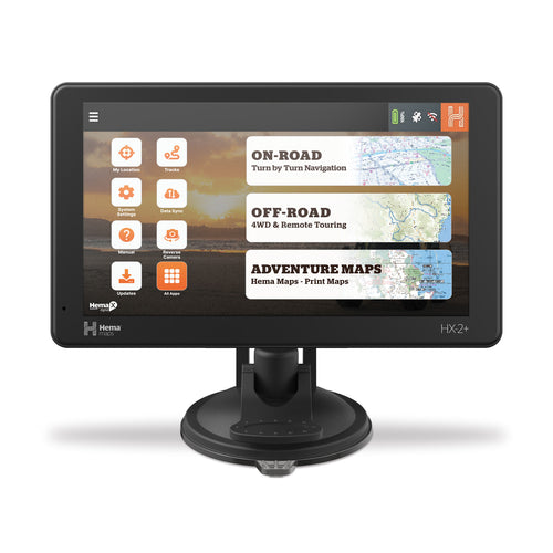
Hema HX-2+ Navigator
- Regular Price
- $849.95
- Sale Price
- $849.95
- Regular Price
-
$0.00 - Unit Price
- Translation missing: en.general.accessibility.unit_price_separator

The Grampians (Gariwerd) Map
- Regular Price
- $14.95
- Sale Price
- $14.95
- Regular Price
-
$0.00 - Unit Price
- Translation missing: en.general.accessibility.unit_price_separator

4WD Treks of Northeast NSW
- Regular Price
- $44.99
- Sale Price
- $44.99
- Regular Price
-
- Unit Price
- Translation missing: en.general.accessibility.unit_price_separator


Namadgi - ACT South Activities Map
- Regular Price
- $15.95
- Sale Price
- $15.95
- Regular Price
-
- Unit Price
- Translation missing: en.general.accessibility.unit_price_separator

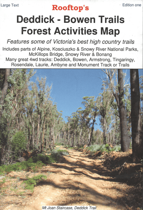
Deddick - Bowen Trails Forest Activities Map
- Regular Price
- $8.95
- Sale Price
- $8.95
- Regular Price
-
- Unit Price
- Translation missing: en.general.accessibility.unit_price_separator
Related Articles

Top 5 Australian Great Desert tracks


Gary Junction Road - The Outback's Heart