Anne Beadell Highway Map
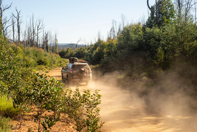
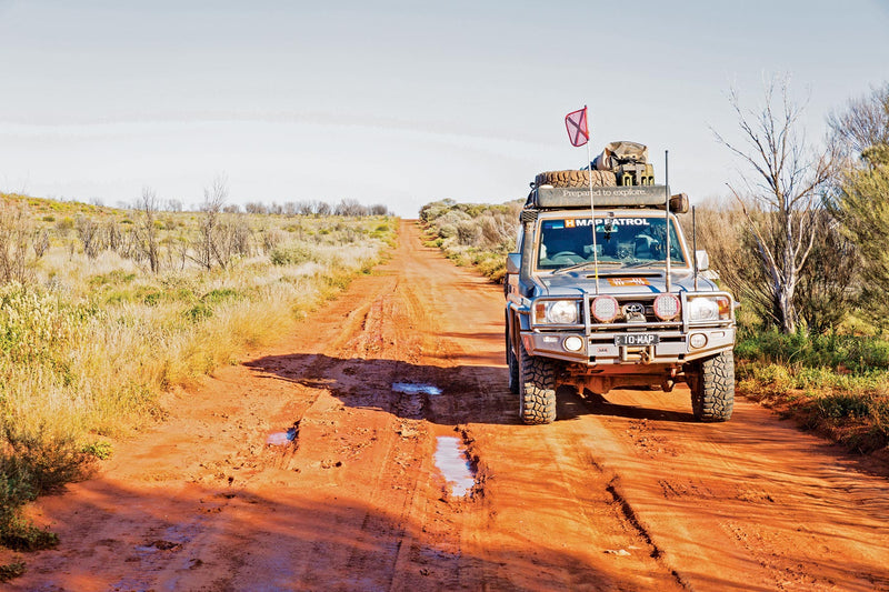
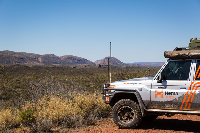
The Anne Beadell Hwy is one of Len Beadell's most famous roads built in the late 1950s to provide access to the first atomic bomb test site at Emu. This outback track now runs from Coober Pedy in South Australia to Laverton in Western Australia. Scale is 1:1.75 Million.
A feature of all Westprint maps is the amount of text of historic and tourist interest.
The map contains numbered symbols cross-referenced to detailed information on each numbered site. Intermediate and major distances are clearly shown and there are symbols for fuel locations, rest areas, caravan parks and camp sites. Early explorers routes have been colour-coded. There are also GPS co-ordinates.
This map covers: the Anne Beadell Highway from Coober Pedy in South Australia to Laverton in the West.
Key Features
- Detailed 4WD tracks
- National parks
- Specific 4WD, caravan and camping information
- GPS surveyed roads & tracks
- Heritage & tourist information
Key Specifications
Edition: 3rd
Publication Date: 01/01/15
Folded size (WxHxD): 140mm x 250mm x 2mm
Flat size (WxH): 700mm x 1000mm
Weight: 0.05kgs
You may also like...


Central Australia Map
- Regular Price
- $14.95
- Sale Price
- $14.95
- Regular Price
-
- Unit Price
- Translation missing: en.general.accessibility.unit_price_separator


Flinders Ranges Atlas & Guide
- Regular Price
- $49.95
- Sale Price
- $49.95
- Regular Price
-
- Unit Price
- Translation missing: en.general.accessibility.unit_price_separator


Birdsville & Strzelecki Tracks Map
- Regular Price
- $14.95
- Sale Price
- $14.95
- Regular Price
-
- Unit Price
- Translation missing: en.general.accessibility.unit_price_separator

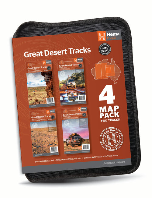
Hema Great Desert Tracks Map Pack
- Regular Price
- $60.17
- Sale Price
- $60.17
- Regular Price
-
$84.75 - Unit Price
- Translation missing: en.general.accessibility.unit_price_separator


Oodnadatta Track Map
- Regular Price
- $14.95
- Sale Price
- $14.95
- Regular Price
-
- Unit Price
- Translation missing: en.general.accessibility.unit_price_separator
Related Articles

Top 5 Australian Great Desert tracks

Gary Junction Road - The Outback's Heart