
:
Navigating on Paper with a Compass
 Hone your navigation skills with a compass and map!
Navigating with Paper and Compass
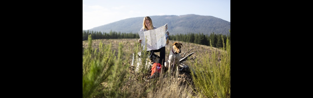
Navigating your way around Australia ain’t what it used to be. Nowadays travellers simply search for a few things on their sat-nav device and that’s that, it’s nearly impossible to get lost with the eye in the sky watching over you at all times. But despite the ease with which our GPS devices allow us to plan trips and track progress, we’ve all got stories of times technology proved that it’s not infallible. Though the dark art of navigating by paper map is close to being lost, we think it’s something that any four-wheel driver with adventurous ambitions should understand.
Many of us think we know how to navigate with a paper map; you just trace the line and follow the road. But what if you were dropped off in the middle of the bush blindfolded with just a map and compass. Maybe that’s an extreme scenario, nevertheless, those same skills can come in handy in all sorts of situations.
Compass Declination
Before you do anything with your compass, you need to account for the fact that compasses don’t actually point true north. Why? Because they point magnetic north. This means that your compass needs to be adjusted according to where you are on the planet. Many maps will have a visual diagram that you can use as a reference.
Magnetic variation must be accounted for by either adding or subtracting the variation from the bearing, depending on whether the negative (when magnetic north is west of true north) or positive (when magnetic north is east of true north). To make things much easier, most compasses allow the user to manually adjust the declination by turning the entire bezel, which will counteract the variation.
It’s important to check the variation of your destination before you go, as it’ll vary from place to place. For example, Melbourne has a variation of +11?38’, while Perth is -1?45’.
 Topographic Maps
Understanding the features of a topographic map is also important for navigation. The scale, grid and contours of each map will vary, and having a good understanding of what these features represent will help to create a more accurate picture. Being able to quickly identify steep gradients, rivers, roads and features will help you to navigate more intuitively.
Off-Road
When you’re driving on marked roads, it’s reasonably easy to keep track of your progress and figure out where you are on a map. If, however, you find yourself way out in the middle of nowhere, unable to connect to a GPS satellite, you can use a compass and paper map to figure out your location using bearings and triangulation.
If you’re on a road, trail or river but are unsure of your exact location along said path, a single bearing will suffice to pinpoint your location on a map.
1 - Identify a feature on the map that is visible from where you are (mountain peaks, lakes, river bends, or other prominent points of interest).
2 - Take a bearing by pointing the direction arrow on top of your compass at the object and turning the bezel until the needle lines up with north as indicated around the outside of the bezel. The indicator line next to the bezel, down from the direction arrow, will point at a number around the bezel, this is your bearing.
3 - Place the compass on your map with the corner of the ruler edge against the object you’ve just taken a bearing from. Pivot the entire compass from the aforementioned corner until the the north/south indicators on the dial of the compass with the north/south lines on the map and the N indicator is pointing towards the map’s north.
4 - Trace a line along the ruler’s edge until it meets a point on the path you’re travelling, that is your location.
If you’re not on any marked path, then you’ll need to triangulate your location.
5 - To triangulate your location, take bearings from three prominent landmarks, as outlined in steps one to three, preferably three that aren’t too close together.
6 - As you trace the lines on the map, make sure they’re long enough to intersect. If they all cross at a certain point, that is your location. If they don’t meet, but they intersect to form a triangle, your location is somewhere within that triangle.
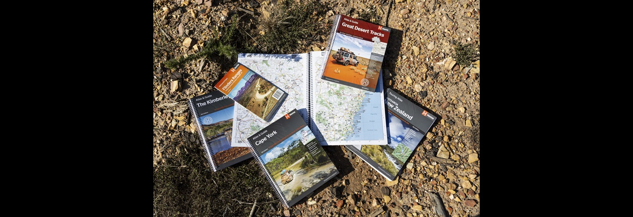
Find Australia's best campsites with books & navigation:
HX-1 Navigator
Hema Explorer App
Camps Australia Wide 10 Spiral
Camps 10 with Camp Snaps


0 comments