
:
Barrington Tops National Park
 Barrington Tops National Park is an adventurer’s paradise that gives travellers a range of ways to explore the region’s undulating ranges, which are home to ancient World Heritage-listed rainforest.
Essential information
| Location | The park is located in Gloucester Tops, 200km north of Sydney. |
| Best time of year | Spring or summer, but be prepared for sudden weather changes at any time of the year; it can snow in winter. |
|---|---|
| Weather | Temperatures can drop below freezing in winter, warm clothes are recommended year-round as temperatures drop at night. |
| Fees & permits | No park entry fee but camping fees apply at Horse Swamp, Gummi Falls and Gloucester River camping areas. |
Navigation
Hema HX-1 Navigator
Hema Explorer App
4WD Adventures
4WD Treks Close to Sydney
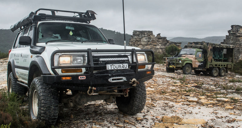
Four-wheel driving
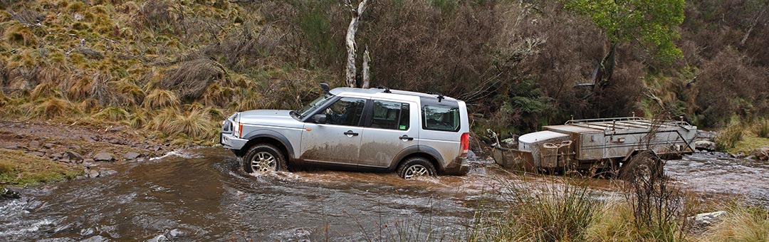
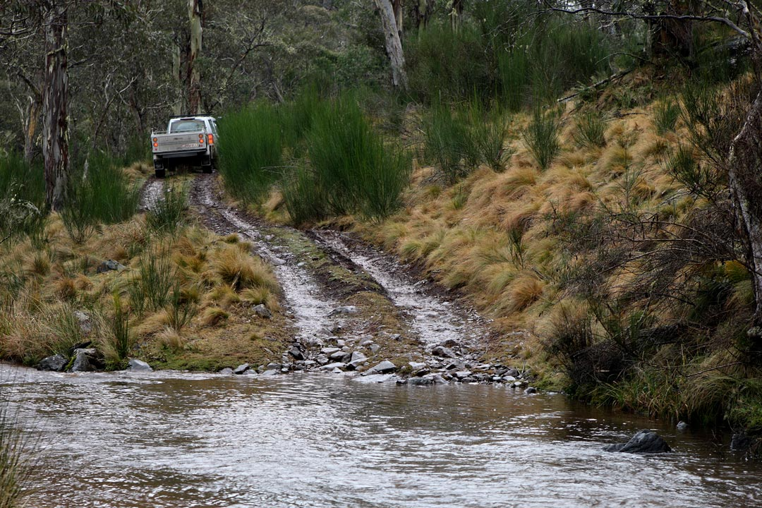
Track conditions within Barrington Tops are subject to change when rain and snow come into the equation. Generally speaking, the main gravel tracks are in good condition, with the offshoots and side tracks ranging from high clearance AWD to low-range 4WD. This means a high-clearance vehicle with 4WD capabilities is recommended for the region, with the chance for some deep water crossings and technical driving on the cards for people in search of a challenge.
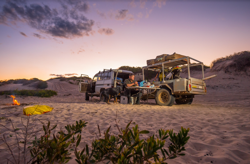
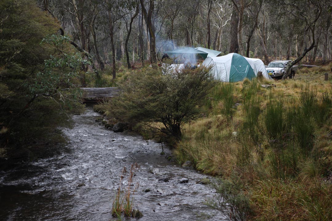 Camping
| Camping area | Site details |
| Gloucester River camping area | This riverside camping area is situated on the eastern border of Barrington Tops National Park. There are 25 shady and grassy sites, some of which are caravan friendly. Wildlife abounds in the area including lyrebirds and wallabies. Nature watching, fishing and swimming are popular activities. Facilities include non-flush toilets, gas and wood barbeques, bring your firewood, picnic tables, access to walk trails. Details, Gloucester 02 6538 5300. |
|---|---|
| Devils Hole camping area | At 1,400-metres high, this camping area of 3 sites may be the highest in Australia. It is a great little base for observing sub alpine life, but be well prepared. There are non-flush toilets, wood barbeques, but bring your own firewood. Camping fees $5 per adult, $3 per child per night. Camper trailers and tents, no caravans. |
| Junction Pools camping area | You need a 4WD without a caravan to camp here, although camper trailers are okay. This sub alpine camping spot has 5 sites, where wildlife is prevalent. Facilities include wood barbeques so bring your own firewood and non-flush toilets. Camping fees $5 per adult, $3 per child per night. Gloucester 02 6538 5300 |
| Horse Swamp camping area | This is another sub alpine camping area amongst the snow gums. Facilities include non-flush toilets, picnic tables, wood barbeques, bring your own firewood. You can bring the caravan for this one. Fees the same as above. Scone 02 6540 2300. |
| Polblue Swamp camping area | Lots of (40)open grassy camping is available at this sub alpine location. It is also caravan friendly. Facilities include both gas/electric and wood barbeques, but bring your own wood, picnic tables and non-flush toilets. Fees are $10 per adult, $5 per child per night. Scone 02 6540 2300. |
| Gummi Falls camping area | This remote high altitude camping area is accessible by 4WD. You can bring a camper trailer or a tent, but not a caravan. Fishing for trout in the nearby Manning River and bush walking are popular activities. There are non-flush toilets and wood barbeques. Fees are $5 per adult and $3 per child. Details, Scone 02 6540 2300. |
| Little Murray camping area | Caravans are not the go at this 4WD access camping area high on the plateau. There is plenty of birdlife, so bring binoculars. Facilities include non-flush toilets, picnic tables and wood barbeques, but bring you own firewood. Camping fees $5 per adult, $3 per child per night. Gloucester 02 6538 5300. |
| Wombat Creek camping area | Walk-in only |
| Black Swamp bush camping area | Walk-in only |
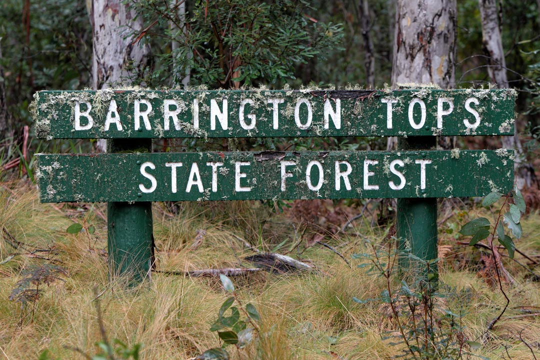
| Barrington Tops State Forest | This area of regrowth forest is located north of Barrington Tops National Park. The main feature in the forest is the Manning River. |
| Manning River camping area | Freshwater fishing is the favourite activity as this camping area well located next to the Manning River. There are toilets, picnic tables and wood barbeques. Ring 1300 655 687 or 02 9871 3377 for details. |
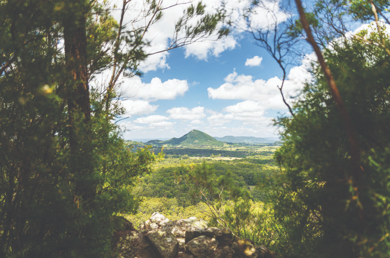
Hiking
Gloucester Tops & Gloucester River Camping Area Walks
Turn off Bucketts Way 9km south of Gloucester. The road frequently crosses the river and may be cut at times of high river flow. It is advisable to leave immediately after any heavy rain. The camping area is located in wet eucalypt forest and regenerating rainforest. The Tops mainly comprise sub-alpine woodland but also has magnificent beech forests in protected gullies. The Gloucester River drops through a series of waterfalls between the plateau and lowlands. Camping fees apply.
| Hiking trail | Notes |
| River Track | 1 hour, 2.5km (circuit, return via road), low level of difficulty. The walking track generally follows the Gloucester River. There are numerous water holes for a spot of trout fishing or relaxation on the river banks. The walk takes you through sub-alpine woodlands and wetlands. The woodlands are a suitable habitat for kangaroos, wallabies, lizards, possums, wombats and different birds. |
|---|---|
| Antarctic Beech Forest Track | 20 min, 1km (circuit), easy or 1.5 hours, 2.5km circuit, moderate difficulty. The forest is dominated by the Antarctic beech tree, soft tree ferns and a ground cover of smaller ferns, mosses and lichens. Lyrebirds and brush turkeys can be seen in this area, along with other bird varieties. Mammals that can be found include the tiger cat, antichinus and the native bush rat. The platypus also can be found within the creeks. |
| Gloucester Falls Track | 1 hour, 1.5km (circuit), low level of difficulty. This walk takes you through a variety of vegetation types and offers scenic views of the Gloucester River Valley. |
| Mountaineer Glowang Trail | 5 hours, 15km (one way), moderate difficulty. A solid day’s walk through the Barrington Wilderness. |
| Sharpes Creek Track | 1-2 hours, 3km (return) or harder 4.5km circuit, low level of difficulty. This track follows an overgrown logging track into subtropical rainforest in the Sharpes Creek Valley. |
| Gloucester River Track | 1 hour, 2.5km (circuit), low level of difficulty. A gentle walk with a gradual slope down to the river. |
Williams River Area Walks
This area is approached from Dungog, follow the signs to the Barrington Guest House. Predominantly covered with a lush growth of rainforest and a continuous series of small pools and waterfalls.
| Hiking trail | Notes |
| Rocky Crossing Track | 5 hours, 16km (return), low level of difficulty. A walk through magnificent subtropical rainforest following the Williams River./td> |
|---|---|
| Blue Gum Loop Walking Track | 1.5 hours, 3.5km (one way), low level of difficulty. This walk meanders over bridges across the Williams River. |
| The Corker Track (Lagoon Pinch to Careys Peak) | 10 hours, 20km (return), difficult. Long steep climb through the Barrington Wilderness, requiring good fitness and adequate preparation for weather changes. Walkers should carry a compass and map. |
| Burraga Swamp Track | 1 hour, 2km (return), low level of difficulty. This walk climbs gently through the beech forest and down to the edge of the swamp. |
Barrington Tops, Jerusalem Creek & Devils Hole Area Walks
The Barrington Tops and Devils Hole area is approached from either Gloucester or Scone via the Barrington Tops Forest Road. Normal vehicles can drive to the Devils Hole area. Only walkers and four wheel drive vehicles can use the trails leading to the Barrington Tops area.
| Hiking trail | Notes |
| Careys Peak Trail | 2 hours, 7km (one way), moderate difficulty. This walk takes you over the plateau through antarctic beech forest and sub-alpine woodland. |
|---|---|
| Edwards Swamp Walking Trail | 2 hours, 7km (one way), moderate difficulty. This walk meanders through the high plains. It is an enjoyable walk with gentle slopes. |
| Aeroplane Hill Track | 1.5 hours, 5.5km (one way), moderate difficulty. This walk takes you through the mountain forest. |
| The Link Trail | 5-6 hours, 17km (one way), moderate difficulty. This walk follows a narrow forested ridge dividing the Kerripit and Chichester Rivers. |
| Polblue Swamp Track | 1 hour, 2km (circuit), low level of difficulty. This walk provides an introduction to the wetlands and high altitude forest as it circles around the Polblue Swamp. |
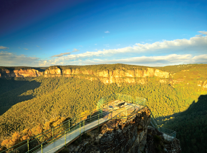
| Devils Hole Lookout | 15 minutes, 400m (return), low level of difficulty. Paved walk suitable for wheelchairs, winds up to lookout platform. |
| Honeysuckle Forest Track | 30 minutes, 1km (circuit), low level of difficulty. Sheltered walk which loops through an antarctic beech forest and thickets of soft tree ferns. |
| Jerusalem Creek Track | 1 hour, 2km (one way), low level of difficulty. Enjoyable downhill walk featuring subtropical rainforest, tallowwoods, Sydney blue gums and grey gums. |
For further information of these walking tracks, contact the New South Wales National Parks and Wildlife Service.
Upper Hunter Area, 137 Kelly Street, Scone (T 02 6540 2300) Barrington Tops Area, 59 Church Street, Gloucester (T 02 6538 5300) Mount Royal National Park: Hunter Rangers Area, 2156 Putty Road, Bulga (T 02 6574 5555)


0 comments